Archive for the ‘Tahoe Rim Trail’ Tag
3By Tim Hauserman
While many of the higher elevation trails around Tahoe and Truckee are still covered in snow, this mild winter has made it possible to hike a few lower elevation trails that you rarely encounter snow free before May, let alone March:
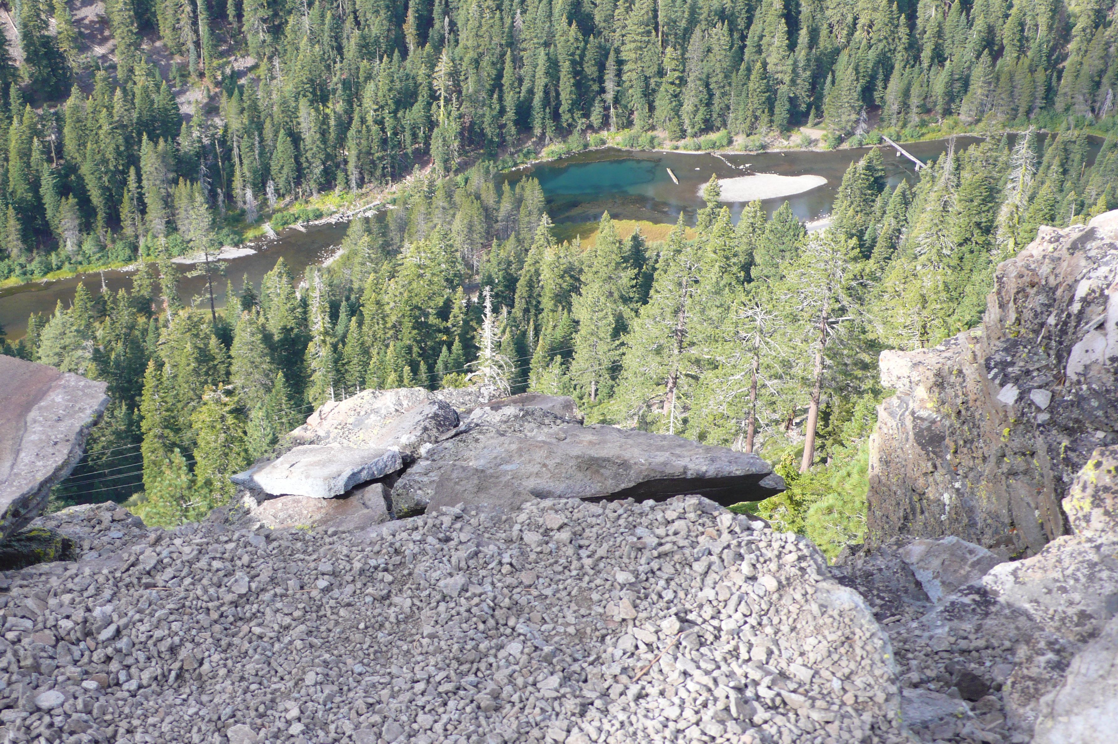
Negro Canyon and the Donner Lake Rim Trail

Photo by Tim Hauserman
A few miles east of Truckee, just off I-80 at the Donner Lake Exit, you will find the Wendin Way Access Trail to the Donner Lake Rim Trail. The snow melts fast off this sun baked south facing bowl, and the well graded trail is a pleasure to hike. After a mile, you join the Donner Lake Rim Trail, where you find another mile of steeper climbing to the Tahoe Donner Cross-Country Ski Area’s Drifter hut at the top of the ridge. If you’ve skied to Drifter before, you will find this hike a piece of cake in comparison, and yet you still get awesome views of the snow covered Sierra crest.
.
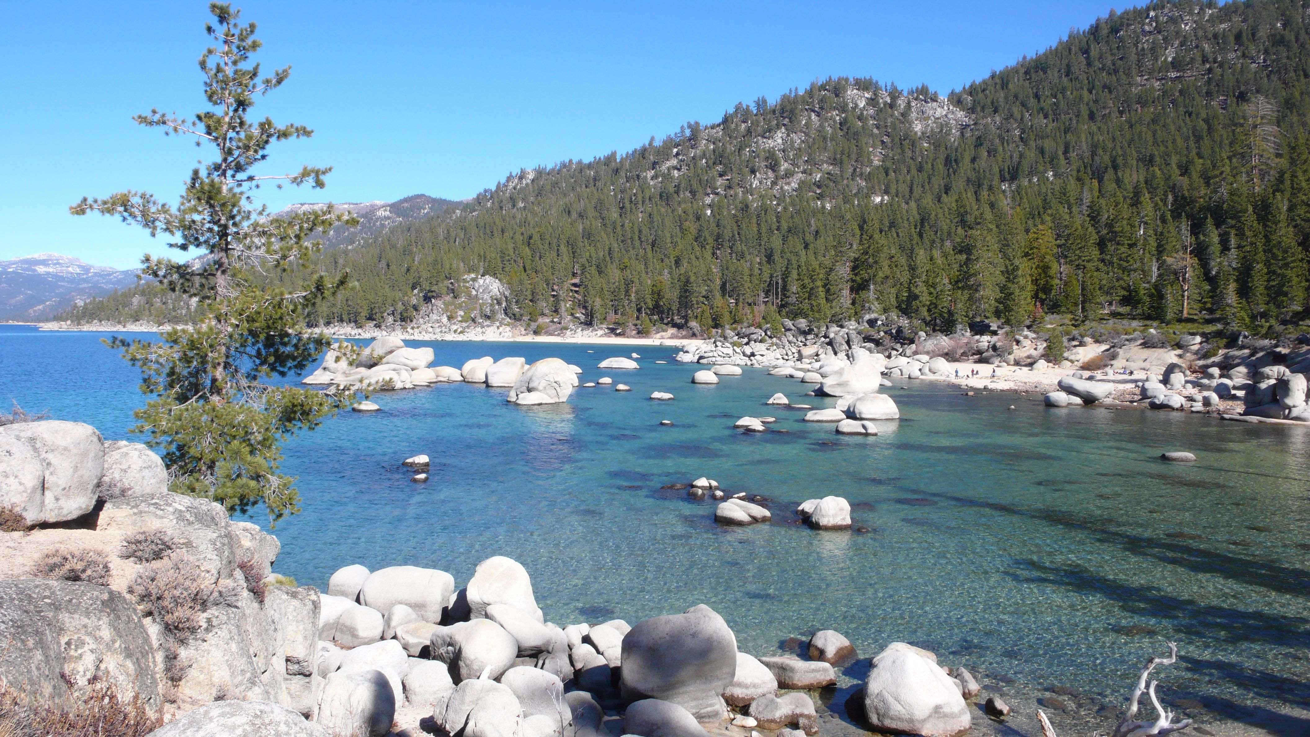
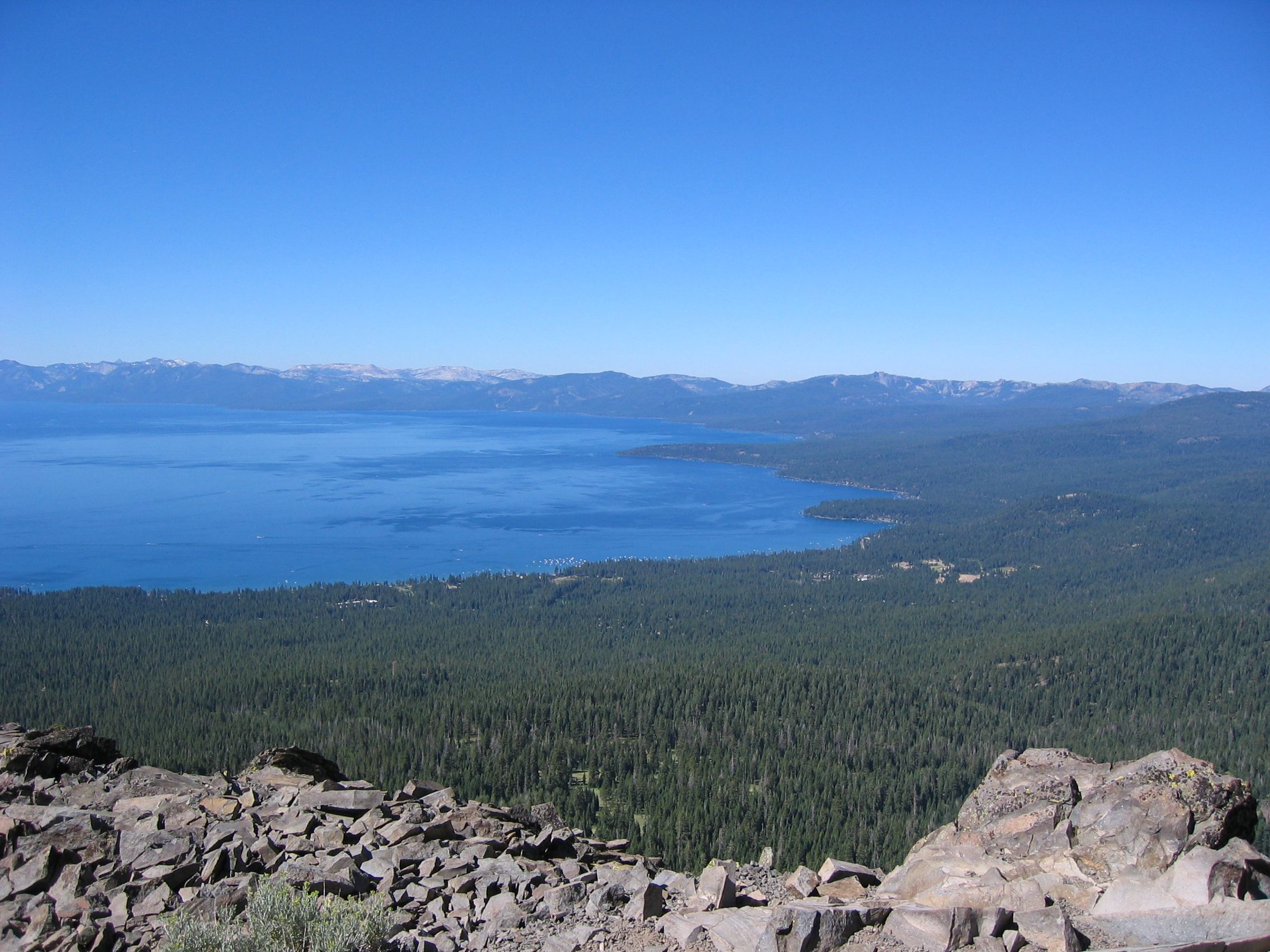
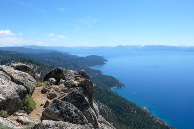
Vikingsholm

Photo by Tim Hauserman
Now, when crowds are absent, is the time to enjoy Lake Tahoe’s most popular hiking trail to the Vikingsholm mansion in Emerald Bay. Take the one mile descent to the waters edge, then follow the south facing shoreline on the Rubicon Trail to the entrance of the bay, and then along Tahoe’s west shore towards Bliss State Park. A sit at the end of the Boat Campground pier, with it’s views of Maggies Peaks and Eagle Falls, makes for a nice break.
Tahoe Rim Trail-North from Tahoe City.
From the trailhead along Fairway Drive in Tahoe City, the Tahoe Rim Trail climbs through cedar and fir while dishing out views of Lake Tahoe and Tahoe City. In about a mile, a wide panorama of the lake opens up, as well as views of the Truckee River Canyon. If you have more time and energy, keep walking, as you pass nearly constant views of the Truckee River and Lake Tahoe.
.
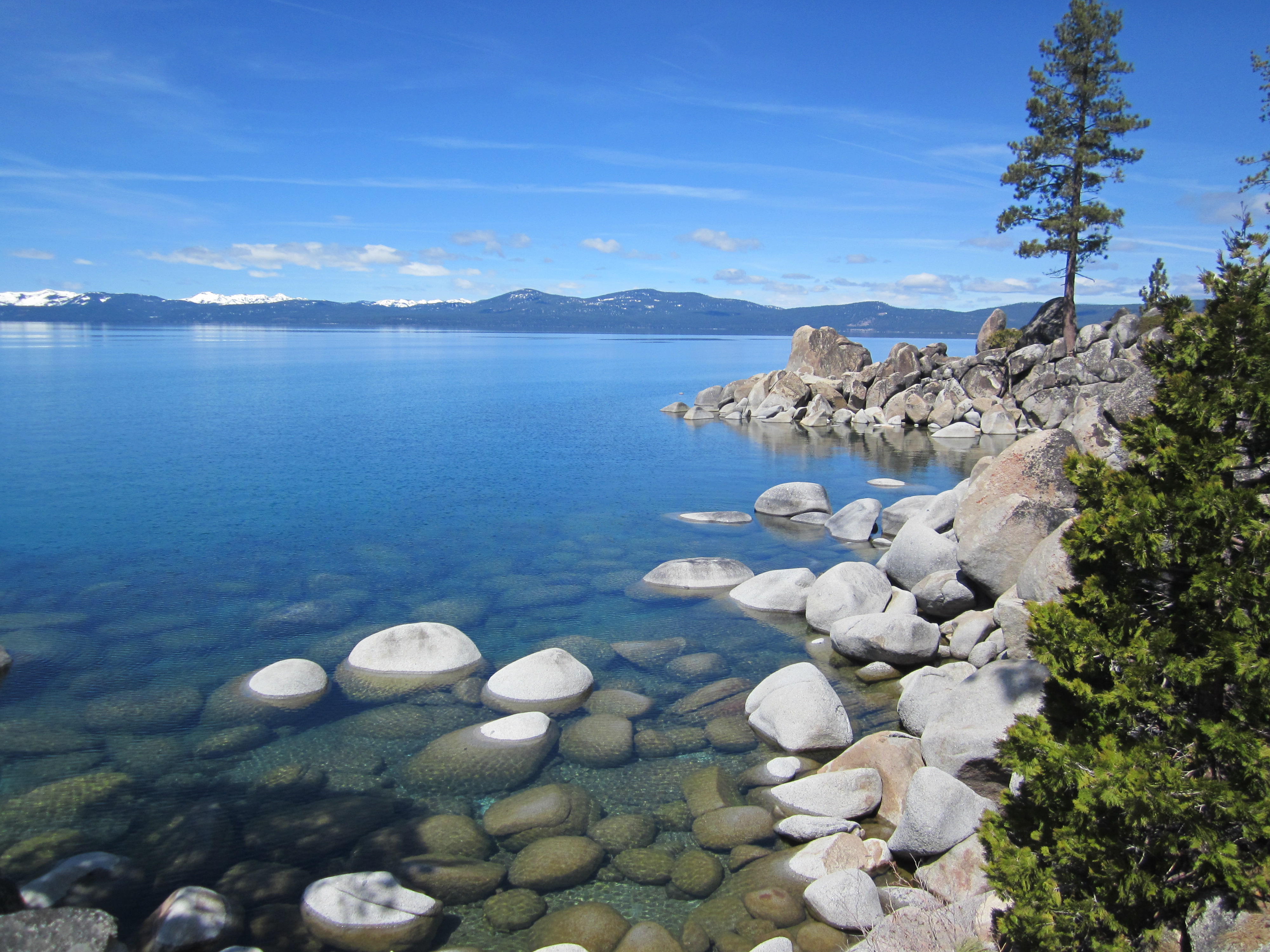
East shore beaches
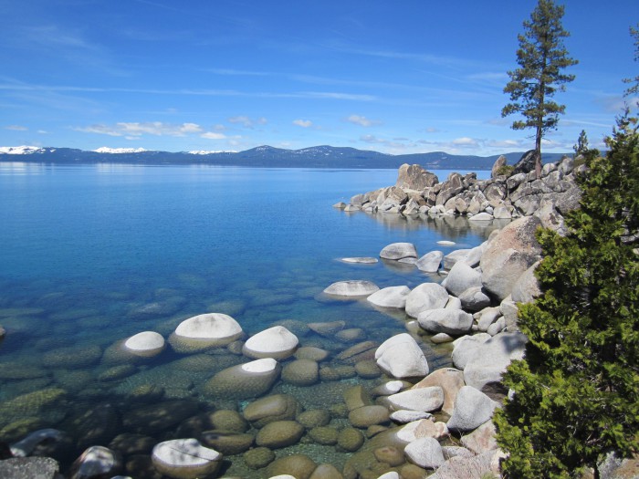
Photo by Michelle Portesi
While skinny dipping in March might not be on your list of things to do, perhaps enjoying the lovely beaches of the east shore with clothes on, but crowds gone, sounds attractive. Several short trails lead from Highway 28 down to the lovely, rocky shore of Lake Tahoe. Wander past all the tidy little coves and pick your perfect little secluded beach to ponder the beauty of Tahoe.
THINK OF ME, LYNN RICHARDSON, FOR ALL OF YOUR LAKE TAHOE AND TRUCKEE REAL ESTATE NEEDS!
Share this: Lynn Richardson, Your Friend in High Places
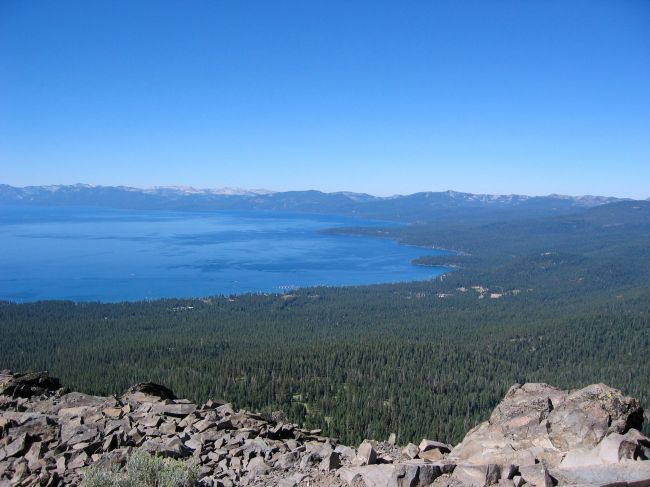
By Tim Hauserman
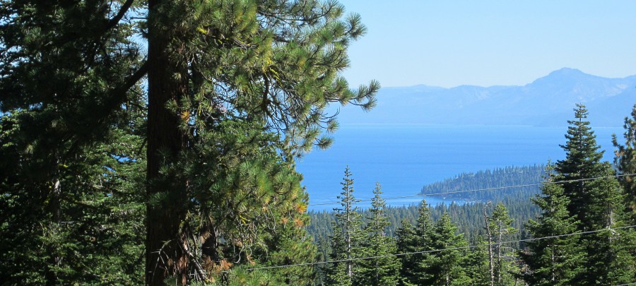
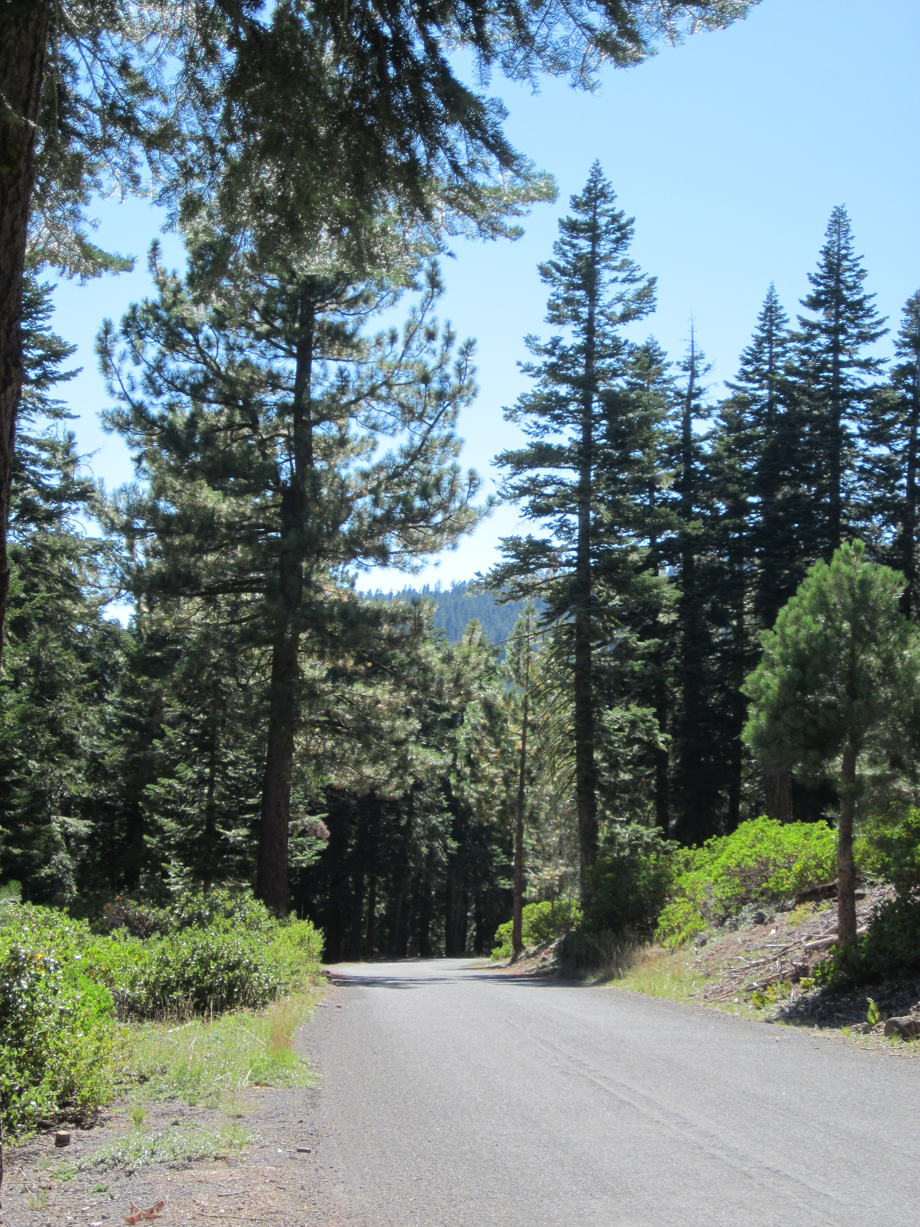
Scenic view high above Lake Tahoe along the Fiberboard Freeway
The Fiberboard Freeway winds through US Forest Service land between Highway 267 at Brockway Summit and Tahoe City. The name comes from the former owner of the property, the Fiberboard logging company. Freeway is a tongue in cheek phrase to refer to what is certainly the major road through the forest, but is by no means an actual freeway. Really, it means that much of it has pavement.
The Fiberboard Freeway is the main artery for mountain bikers to access the elaborate network of trails that include the Tahoe Rim Trail, Watson Lake and The Western States trails. You can start at Brockway Summit, or head up to the Fiberboard from Tahoe Cross-Country Ski Area outside of Tahoe City. While the dirt trails that head off from the Fiberboard are prime mountain biking terrain, the road can also serve as a very worthwhile road biking destination. The first 10 miles from Brockway Summit towards Tahoe City are paved, and very lightly traveled. So why not ride out and back and enjoy a road ride through the middle of the forest? I can’t think of a reason.
While it is just a 20 mile round trip, if you are looking for exercise, you can find enough on this route. There is not a lot of flat. The first six miles is a mostly uphill jaunt to the top of Starratt Pass, where you will find an offshoot trail to Watson Lake. Along the climb you will find frequent glimpses of Tahoe, cross the Tahoe Rim Trail twice, and pass some impressive trees and fields of mule ears.
Then you begin a long and steady downhill, which eventually bottoms out before climbing again to a crossing of Stump Meadow, or what nordic skiers will know as the top of the Gold Trail. Just a bit further brings you to the end of the pavement and your turn around point.

Fiberboard Freeway
On the way back, Great Ski Race skiers will start to have flashbacks, as your ride back to the top of Starratt is the same route you would be skiing in the race. You decide whether skiing it or riding it is easier.
Words of caution: While the good news is that you are riding on pavement through the forest with almost no cars, rain and other cars have dragged gravel and dirt on the road in some spots. Take those downhills a little more cautiously then you would if you were on the smooth pavement.

Share this: Lynn Richardson, Your Friend in High Places
By Tim Hauserman
The Tahoe Rim Trail is a 170 mile trail that circles Lake Tahoe. It passes mountain lakes, crosses high alpine passes, and runs for miles through deep forests of red fir, hemlock and majestic white pine…but most importantly, it gives you miles and miles of opportunities to gaze down into our favorite big patch of blue.
The trail is divided into eight sections of between 15 and 32 miles. These bite sized chunks give TRT hikers and mountain bikers, regardless of their physical condition, a chance to enjoy the trail. But have you ever thought of becoming one of the few who have thru-hiked the Tahoe Rim Trail? Here’s a few reasons why you should:
-The trail circles the entire lake. Which means that if you hike it all you can start out in one place and about two weeks later end up right where you began. What is especially cool about this is that for much of the journey you can gaze across the lake at where you have been, while also envisioning where you will soon be.
-If you join one of the annual thru-hikes put on by the Tahoe Rim Trail Association, someone else will handle much of the logistics and provide you with food and water at key points. You will also have a group of companions that are sure to become great friends, and you will be supporting the TRTA in it’s mission to maintain the Tahoe Rim Trail. For information go to http://www.tahoerimtrail.org
-Make no mistake about it. Thru-hiking the TRT is not easy. It’s a tough, bucket list challenge…but it is one that normal humans who hike about 13 miles a day can do in two weeks, as opposed to hiking twenty grueling miles every day for four and half straight months to conquer the Pacific Crest Trail.
-When you finish, you will have the pride of becoming one of the heralded members of the Tahoe Rim Trail 165 mile Club, and obtain a number. Mine is #11.
Need more information? Pick up a copy of my official guidebook to the Tahoe Rim Trail, now in it’s 3rd edition. Its’ available at local bookstores and outdoor shops.
Share this: Lynn Richardson, Your Friend in High Places