
By Tim Hauserman
When one is presented with a less then optimal winter in the snow department, it’s time to squeeze those lemons and make some lemonade. Within 45 minutes of Truckee several great mountain biking trails are in tip top condition and ready to ride. So get out there and enjoy the dirt until the snow flies.
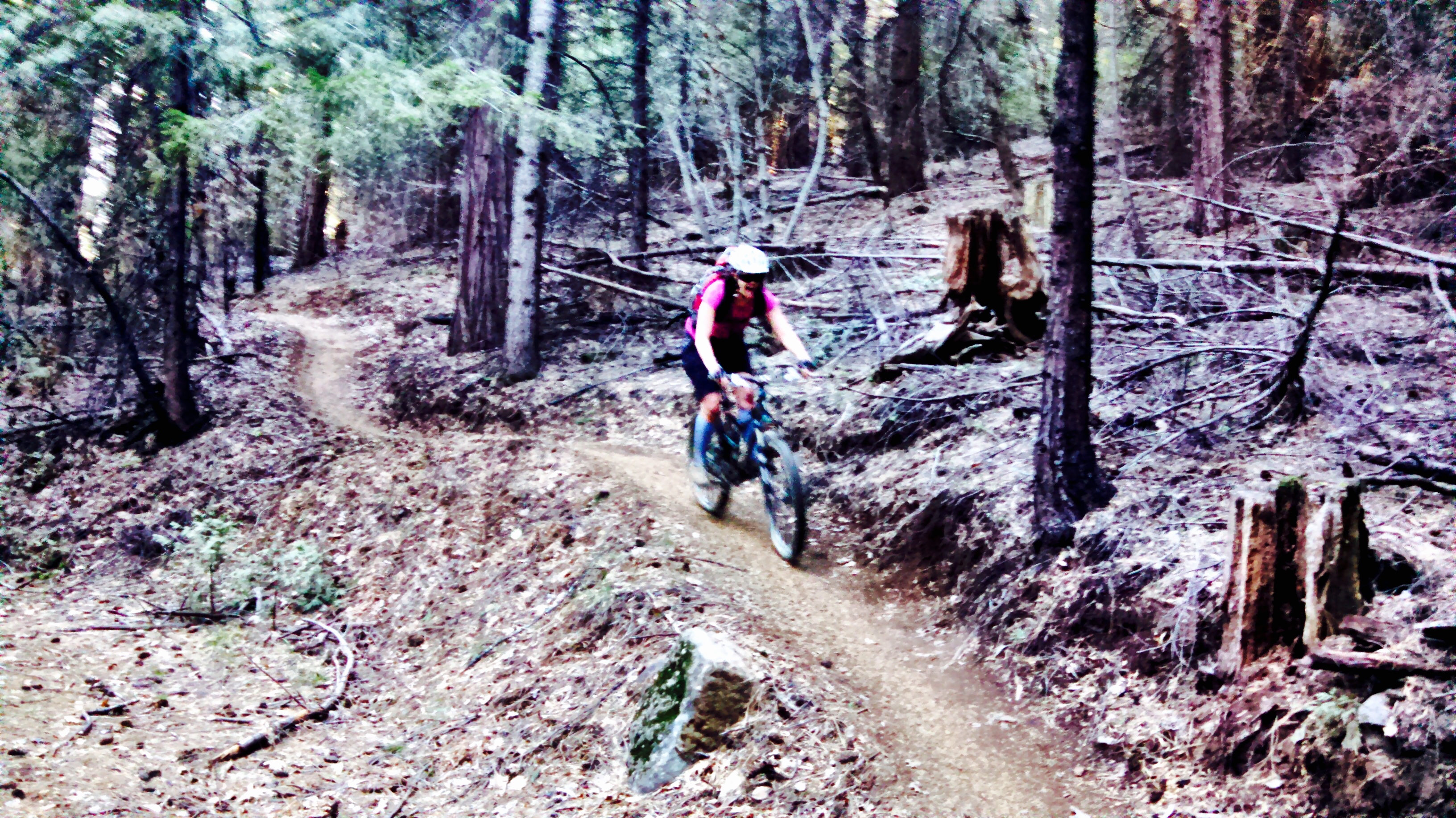
Photos courtesy of Kelly Conley
Heading down Highway 20
Drive 25 miles west on Interstate 80, and then take Highway 20 towards Nevada City. The next 22 miles you pass through a deep forest of conifers, briefly interrupted by several awesome viewpoints. The second one, Alpha Omega Vista has restrooms and a view of the eroded hillsides that are the still visible impacts of the Gold Rush. Five miles east of Nevada City you reach the Harmony Ridge Market on your right. Park in the Trail Parking lot, and decide on your trail option: Pioneer Trail or the Scotts Flat Trail.
The Pioneer Trail starts on the Harmony Market side and follows the highway back the way you came. It’s a lovely gentle climb for five miles, all rideable for just about any mountain biker. At five miles the trail crosses the road, and begins to get more challenging and steep. This is a good turn around point for many. Eventually it reaches all the way back to the Alpha Omega Rest Stop, which would be a fairly lengthy adventure.
The Scotts Flat Trail sits across the highway, and about one hundred yards uphill of the Market. This trail, recently constructed for mountain bikers, begins with a rolling jaunt at the top of the hill before heading down a long series of fun switchbacks to Scotts Flat Reservoir. Strong riders will have a blast and can turn around and ride back up, while others can follow the more gentle paved road to climb back to the start.

Photos courtesy of Kelly Conley
Peavine
Take the first McCarran Exit off Interstate 80 at the eastern edge of Reno. Head north past all of the commercial hubbub for a mile or two to Keystone, turn left. You will find trailhead on your right. A map of the extensive network of trails sits at the beginning of the ride, the trick will be remembering this map once you’ve been riding for awhile. It’s a high desert romp on popular trails, sometimes rocky, but mostly quite rideable, with beautiful views of the Reno metropolis and the high desert.

Photos courtesy of Kelly Conley
THINK OF ME, LYNN RICHARDSON, FOR ALL OF YOUR LAKE TAHOE AND TRUCKEE REAL ESTATE NEEDS!


Leave a comment