Archive for the ‘Summer Recreation’ Category
The Tahoe City Downtown Association invites you to join them for a Summer Solstice Festival. Events include a farmers market, classic car show, a wine walk and concerts on Commons Beach among an array of other delights.
Tahoe City is home to a plethora of fine restaurants, many with lake views, plenty of shopping and is the jump off spot to some of our finest bike trails along the West Shore of Lake Tahoe and the Truckee River. Don’t have a bike? Well you can rent one! Or just take a stroll if that’s more your speed.
The Truckee River in Tahoe City is Lake Tahoe’s only outlet, so be sure to stop at Fanny Bridge. How did it get its name? You’ll soon find out. Peer down into the turquoise blue waters at the river’s mouth to spot the mega sized Mackinaw and Rainbow Trout. Bring change. The local Girl Scout troops often stock fish food near the bridge. (Don’t feed them potato chips and Cheetos. They’re as bad for the fish as they are for you!)
For more information on ALL the events in Tahoe City for the Solstice Festival, here is the link:
http://www.visittahoecity.org/event-items/tahoe-city-solstice-festival-2/


Share this: Lynn Richardson, Your Friend in High Places
.
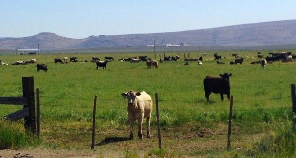
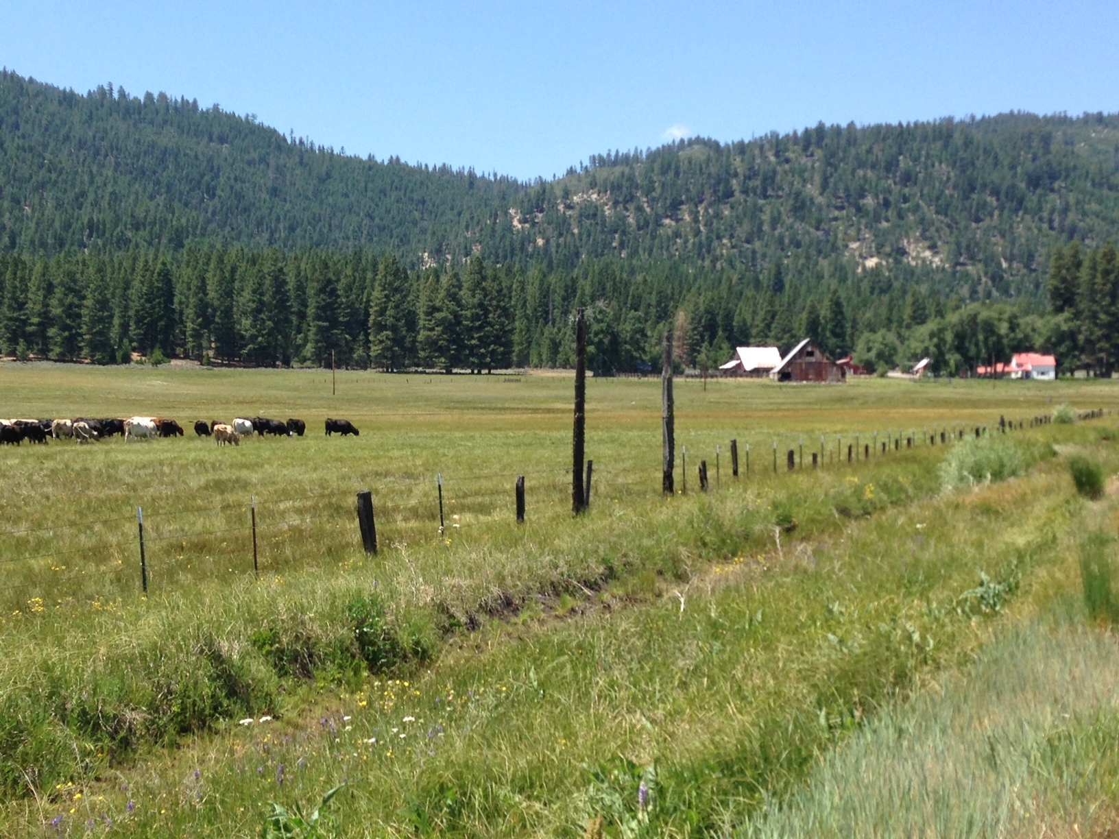
Just twenty five miles north of Truckee lies the sleepy little village of Sierraville, just on the edge of the Tahoe sized valley known as the Sierra Valley. The Sierra Valley is a great place for cows, wildflowers and a variety of birds, and it’s also an awesome place to go bike riding. You can ride a big level circle around the valley and marvel at the birds arising from the wet spots, or do a bit of climbing by heading just north of the valley to Frenchman’s Lake or Davis Lake. You can take the short jaunt to ride the Sierra Valley anytime, but one great option is to arrive on a summer Friday, when the Sierra Farmers Market is in session just a bit south of Beckwourth. The best way to ride the valley, however, is to be a part of the Tour De Manure. This year set for June 21st.
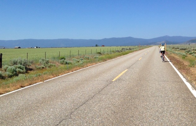
The Tour De Manure is a metric century ride, which at 62 miles is much more civilized then the grueling 100 milers. It circles the Sierra Valley, giving you plenty of opportunity to decipher how it gets its name. It starts and ends at the Sierraville Volunteer Fire House, which is appropriate because it is a major fundraiser for the Sierraville Fire Department. When you finish, inside that firehouse you will find lots of excellent food and drink, and outside you will find a party going on, with a band, and lots of Tahoe and Truckee locals enjoying a hopefully beautiful sunny day.
For information or to register go to . In addition to registration, this year the inaugural Tour http://www.sierravillefireandrescue.com/biketour.html. De Manure bike jersey is available for purchase. Don’t you want a raging bull on your back while you are riding through the farm land?

Share this: Lynn Richardson, Your Friend in High Places
.

Photo by Sean Duggan.
“Lunar Eclipse Over Donner Peak”
Here’s my eclipse sequence composite that I photographed a couple of nights ago. This is what I had in mind when I set out to shoot the eclipse (though the Donner Summit location was a last minute decision) and I’m pretty pleased with how it came out. I’m working on a more detailed description of the planning and process that will be available next week.
**4-21-14..Print Update: For all who have inquired about purchasing a print of this image, here is a link where you can do just that. Available in a variety of sizes as photographic prints, giclée watercolor prints, canvas prints and metal prints:
http://seanduggan.smugmug.com/Lunar-Eclipse-Over-Donner-Peak/
The three miles of Old Highway 40 that goes from the western edge of Donner Lake to the top of Donner Summit is packed full of recreational and scenic pleasures. Here are a few of your best options:
Road biking-This three mile climb is the highlight of the one of the regions most popular road bike routes from Donner Lake to Cisco Grove. The views of Donner Lake, Mt. Rose, the Rainbow Bridge and the Donner Crest are unbelievable. And with the steep grade, the speed you will be riding will give you plenty of time to enjoy the view.
Rock Climbing-On the second half of the climb, the road heads past some of the best rock climbing not only in the region, but in the world. There are a variety of interesting routes for every level of climber, and even if you are not a climber yourself, it’s pretty fascinating watching people make their way up those massive rock faces.

Photo by Michelle Portesi
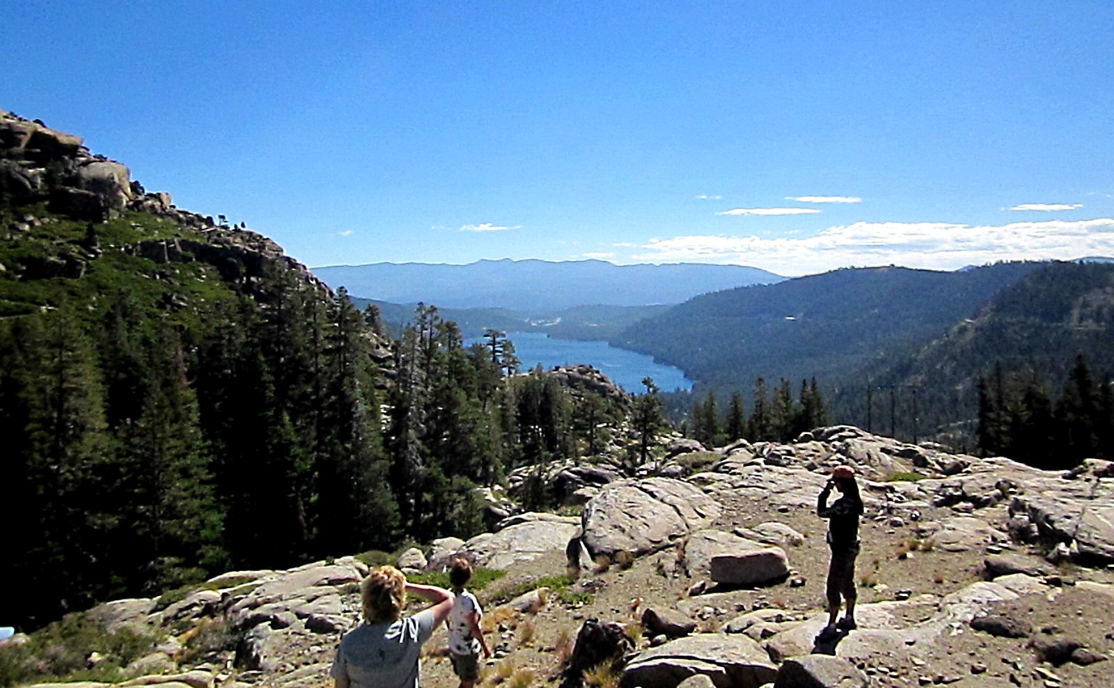
Hiking-Just at the crest of the summit, the Pacific Crest Trail crosses Highway 40. You can hike either direction on the PCT and find spectacular hiking. To the south, the route climbs up towards Donner and Judah Peaks, past Sugar Bowl and eventually into the Granite Chief Wilderness and Squaw Valley (or Mexico if you are so inclined). Heading north, the PCT travels through prime climbing territory while dishing out excellent views of Donner Lake and the Rainbow Bridge. It’s about four miles, mostly ascending, to Interstate 80.
It’s also fun on this northern section to wander off trail through the open terrain and see what you find. There are several larger lakes, and a very small, but surprisingly deep, little pond surrounded by granite. You will know you are in the right place when you see a healthy population of Catfish residing in the pond. Reportedly, the ancestors of these fish were planted by Chinese railroad workers building the Transcontinental Railroad some 150 years ago—they were looking for another source of protein to supplement the meager rations they received from the railroad companies.
20 Mile Museum-From Rainbow Bridge heading west you will find 34 interpretive panels along Highway 40 telling interesting stories about Donner Summit’s colorful and often dangerous past. Whether you are on your bike or in a car, they are certainly worth a stop and read.
Share this: Lynn Richardson, Your Friend in High Places